Commute data
Some data about driving to Islesboro, Maine, from Cambridge, Massachusetts:
4h 15m from Cambridge including a stop for gas and an 11 minute supermarket trip The lady friend made it in 3h 43m.
Directions: 93 N 95 N toward Peabody Stay on 95 through New Hampshire and into Maine
After 1:10, you should be crossing the Piscataqua River into Maine in Portsmouth, New Hampshire.
Just south of Portland, Maine, you choose between the Maine Turnpike, also known as 95 (or 495 on pre-2005 maps), and 295 (known as 95 on pre-2005 maps).
On the Maine Turnpike, get off at exit 102 for Gardiner. Head east on 9/126. Turn left at the first stoplight just as you enter Gardiner. You are still on 126.
Cross the Androscoggin River and turn right at the end of the bridge.
After a few blocks, turn left onto 226.
Follow 226 until you hit 17. Turn right onto 17.
Drive 25 miles on 17. Turn left onto 235 toward Lincolnville Center.
Turn right onto 173 and follow it to Lincolnville Beach.
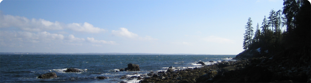
The ferry leaves Lincolnville at 8, 9, 10, 11, 12, 1, 2, 3, 4, and 5, except for sometimes. Check the schedule to be certain.
I used to work in Wiscasset, Maine, while living in Cambridge, Massachusetts. Hereafter, some data from this era:
Assuming 3.2 miles from Chewonki to Norm’s Used Cars, it is 159.2 miles from Chewonki to the Gulf Station on Mass. Ave. in Cambridge.
The Honda Accord got 30.6 mpg on that trip on August 27, 2005.
Cambridge: 0 mi, 8:50 am MA/NH border: 46.5 mi, 9:39 am, 49 min NH/ME border: 62.6 mi, 9:53 am, 63 min Junction of 295 and 95: 106.6 mi, 10:29 am, 99 min Freeport/Brunswick border: 132.8 mi, 10:52 am, 122 min Chewonki: 156.1 mi, 11:20 am, 150 min
Avg speed: 62.44 mph 155.9 mi / 5.865 gal = 26.58 mpg